StreetEagle Mapping
Customize Your StreetEagle GPS maps to show the data that matters to you
A Dynamic Display for Your Dynamic Work Environment
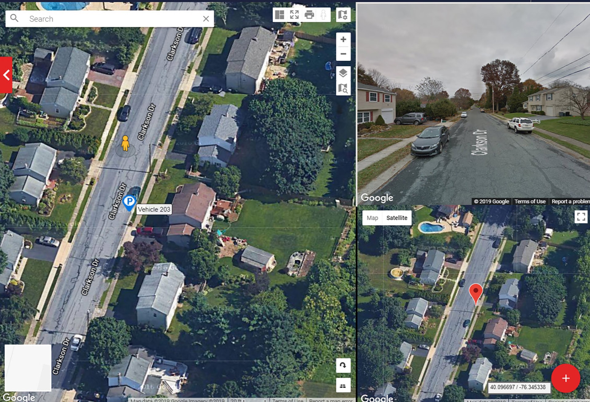
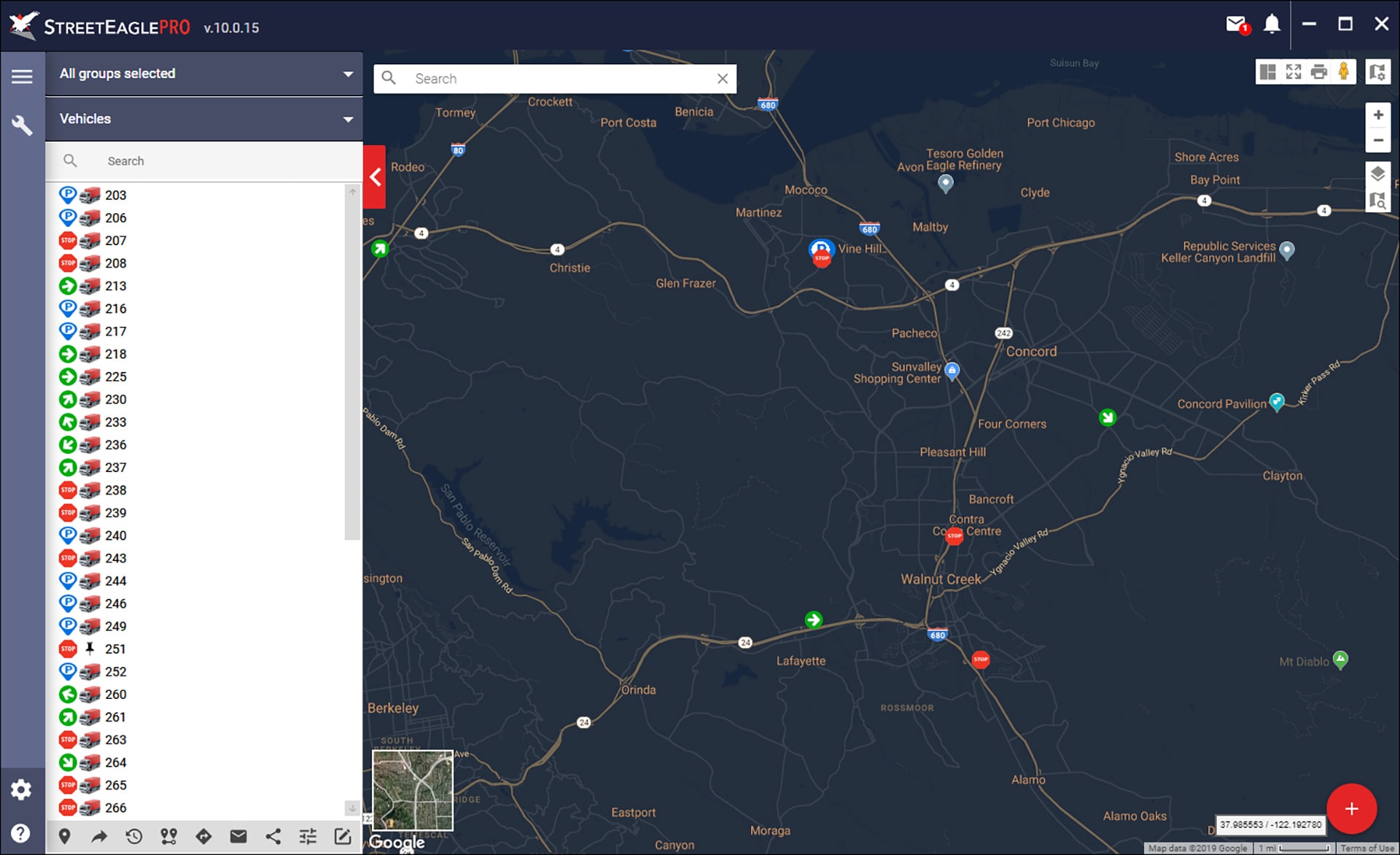
StreetEagle’s mapping interface is easily configurable, provides multiple viewing options and includes overlays of traffic, weather, lat/long and more. StreetEagle’s GPS maps are a dynamic display that can be customized to show exactly the data you need to see in the format you want to see it. Any landmark or location, zones or regions, or even imported KML layers can be made visible for you according to your specific work requirements.
What Data Do You Need to See?
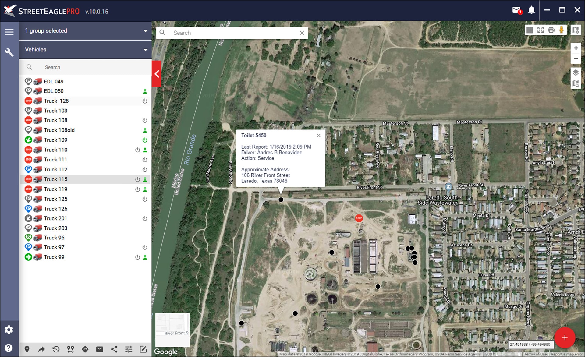
Showing vehicles and mobile assets on a map is great, but most busy operations include multiple data points and variables beyond that. At the core of StreetEagle is an immensely powerful, flexible mapping engine that is able to visualize the data you need to see, that impacts daily operations. Available data to show on StreetEagle GPS maps includes:
- Vehicles, workers, equipment and scanned assets
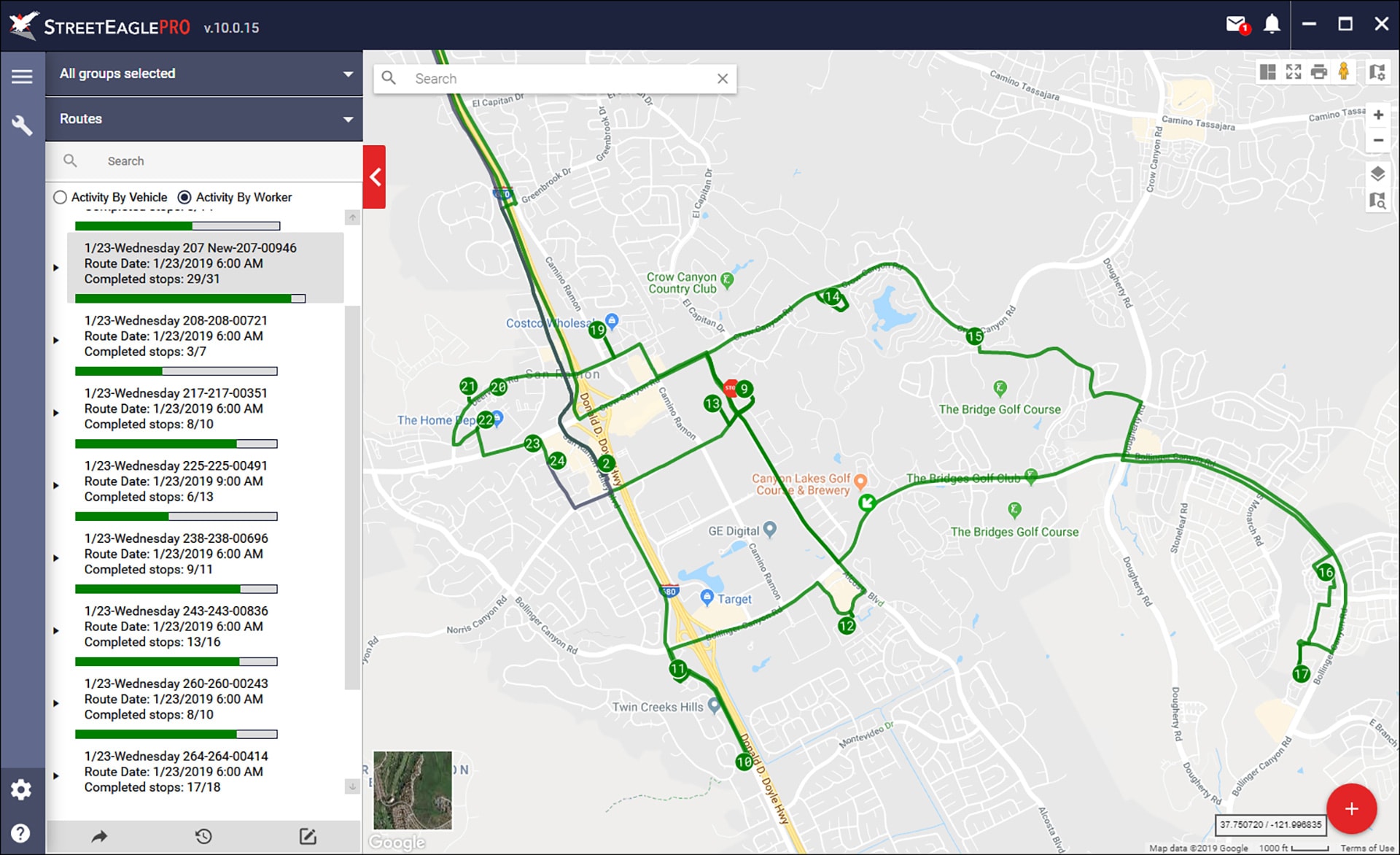
- Scheduled routes, saved routes, in-progress routes, jobs and unassigned jobs
- Any landmark or location that matters to you
- Zones or regions
- KML layers (link and import)
- Custom overlays
Interactive StreetEagle Mapping Features
From multiple views to traffic and weather, StreetEagle maps include the capabilities that you’d expect to see within a sophisticated fleet management platform, but also some others that you won’t find anywhere else. Some of these features include:
- StreetEagle Multi-View
- Right-click quick actions
- Dynamic icons with name tags
- Layer control for all fleet data
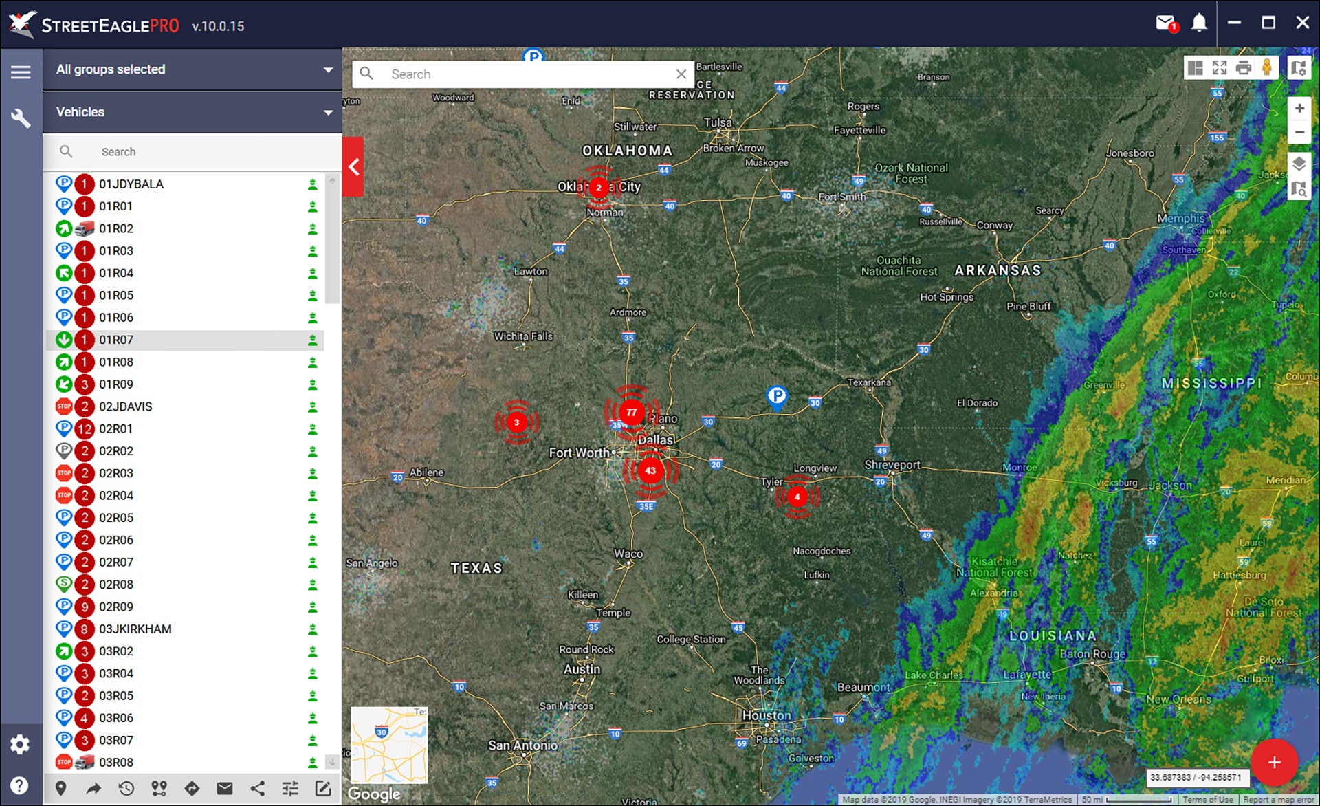
- Clustering of all vehicles/assets
- Custom map views
- Real-time traffic
- Night mode
- Address/location lookup
- Weather overlay (provided by NOAA)
- Print map view
- Latitude/Longitude extract
Schedule your personalized demo with InSight Mobile Data

